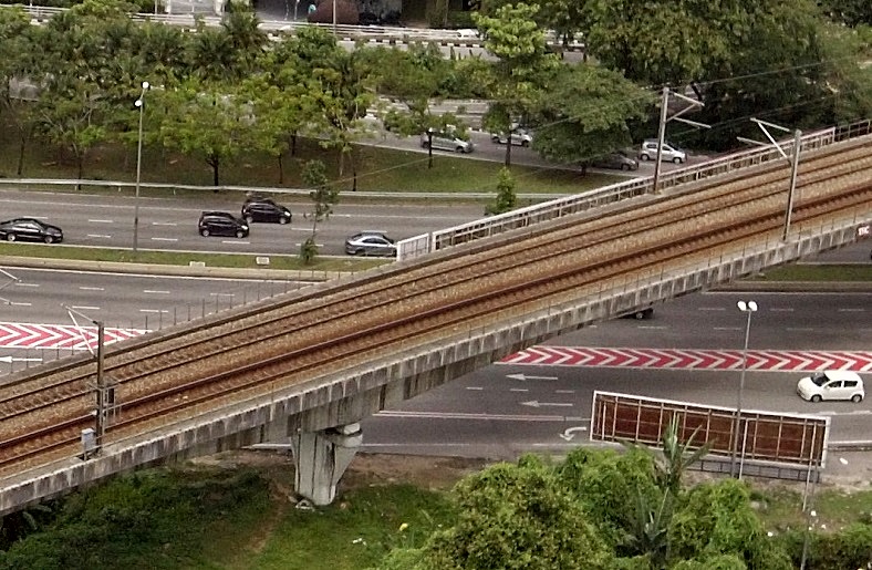
Although Malaysia has a railway system network that is pretty old (the first line was built in 1885), most of the places where the lines crossroads usually have barriers. This is unlike Japan or America, with a more extensive network where railway lines crossroads in many places and have no barriers. It is obvious that such crossings require motorists to be alert, especially those without barriers.
While Malaysian motorists may not have to worry so much about railway crossings as there are barriers which come down when a train is about to cross, it is still good to be aware of them when driving, especially in an unfamiliar area. It may seem obvious when a train is approaching but there will still be some people who somehow don’t notice and put themselves at great risk if there is no barrier.
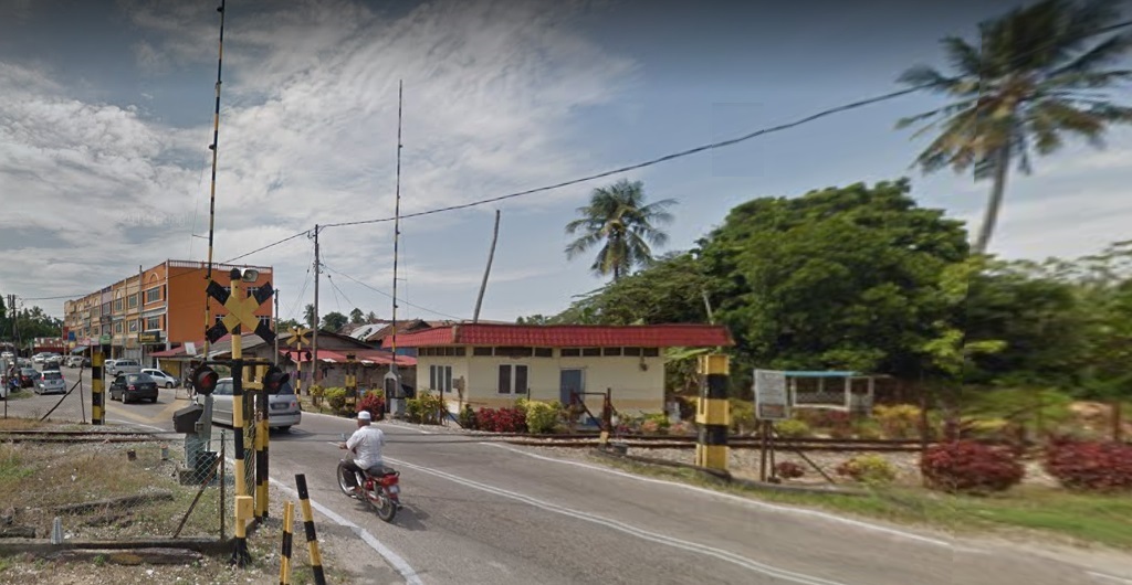
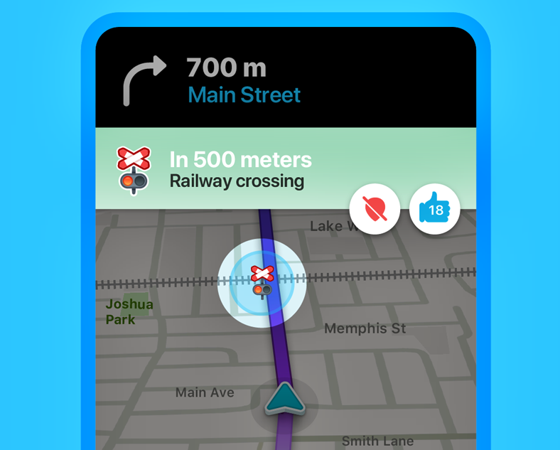
Driver alerted near railway crossing
To make things safer, Waze has marked all the railway crossings in the country, as it does for many other countries. Besides the location being identified, there is now also an alert as the vehicle approaches the railway crossing. A banner will appear on the Waze app highlighting the crossing and advising the driver to approach with caution.
“The Railroad Crossing feature is a result of a cross-industry, cross-sector collaboration, both internally within Waze and the community, working together to help fellow drivers map out all highway-railroad intersections,” said Dani Simons, Head of Public Sector Partnerships, Waze. “This feature exemplifies Waze’s commitment to building for its Driving app, being the first to implement features and emphasizes our focus on safety.”
Other benefits of using Waze
For those who have not used Waze yet, it is an app which is very useful for motorists – even those who drive within their own town or city and believe they are familiar with all the roads. Besides the route guidance to a specified destination, the route that is suggested is usually the fastest one. It is based on real-time traffic conditions along the way. Sometimes, the route may take you through what seems like a less direct route but actually, it is guiding you to avoid an area where there is congestion.
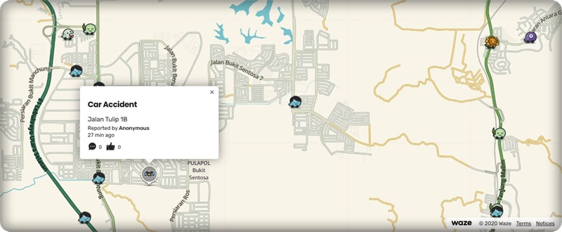
Another feature which motorists will find useful is the notification of accidents ahead. These obviously are events which cannot be embedded as data since they occur randomly. So Waze invites people to send a notification that is then recorded and made known to everyone else. This alerts the driver to possible congestion ahead (people slowing down to look at the numberplate!) or even the presence of a disable vehicle in a lane that can be a dangerous obstruction.
Speed limits are also indicated so you are aware and don’t exceed them. Motorists will also notify Waze of police roadblocks or ‘other activity’ so that they can expect to slow down as vehicles queue up.
Waze is free for download to mobilephones or other devices that run on Apple’s iOS or Android systems. With more and more new vehicles coming with Android Auto and Apple CarPlay for connectivity, the Waze app can also be mirrored on the dashboard display and accessed from there. This means that maps are always up to date, unlike the early on-board navigation systems where a new digital map (often costing money) would be needed periodically if you wanted updated information.
Like Google Maps, you can also have it on your desktop or laptop computer. From your desk, you can ‘recce’ an area you are going to so you are familiar with the turnings. The current traffic conditions are also shown, so you can decide what route to take to avoid jams.
Waze Beacons enable GPS signals to be received inside SMART Tunnel